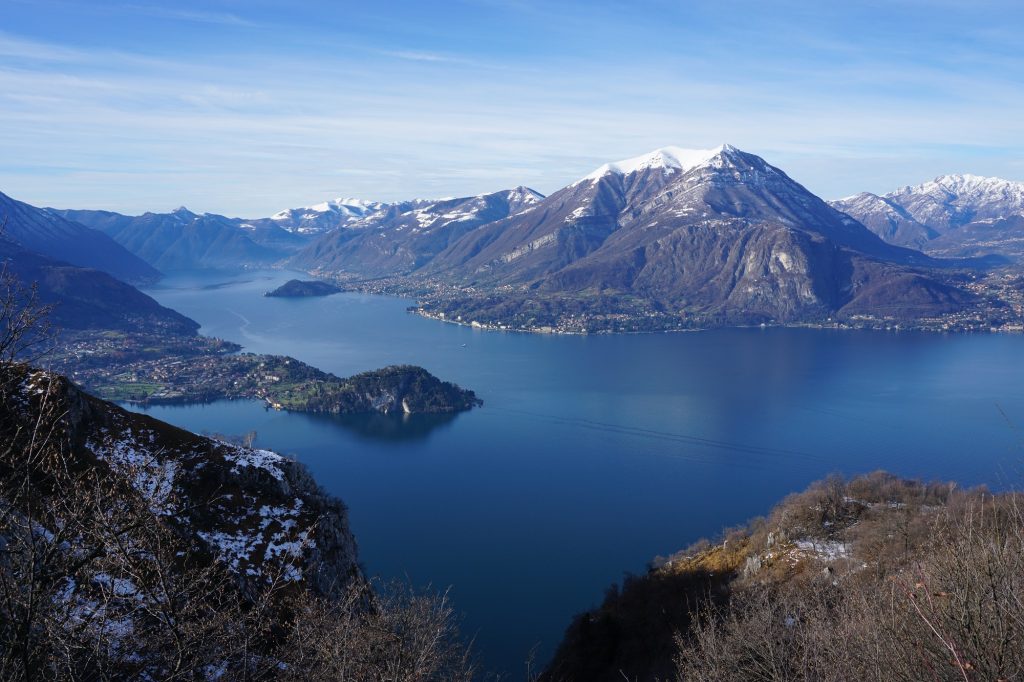
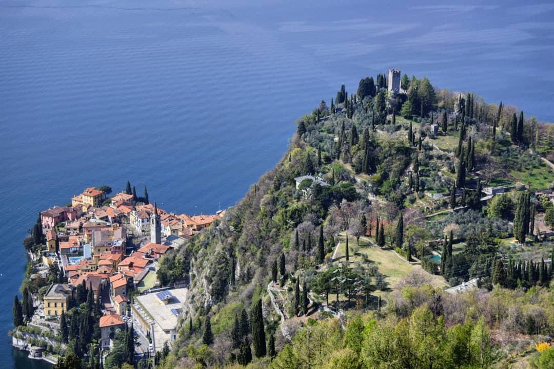
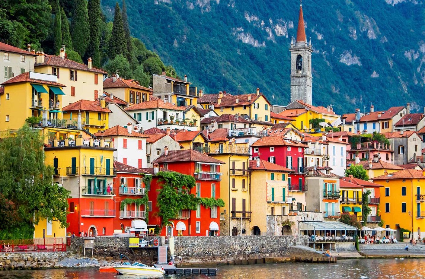
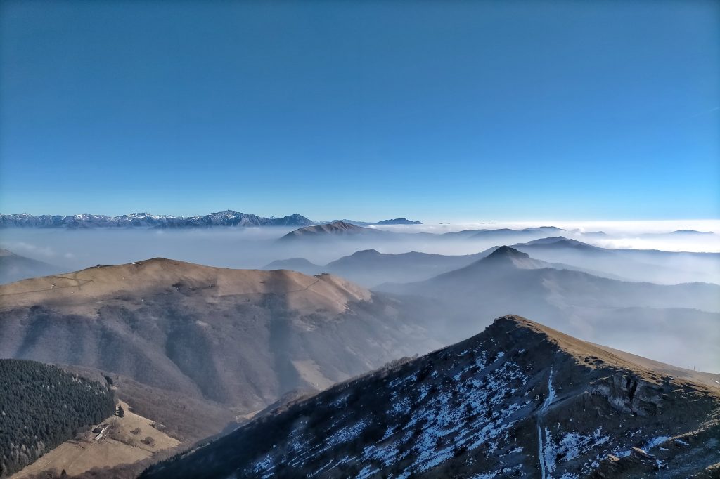
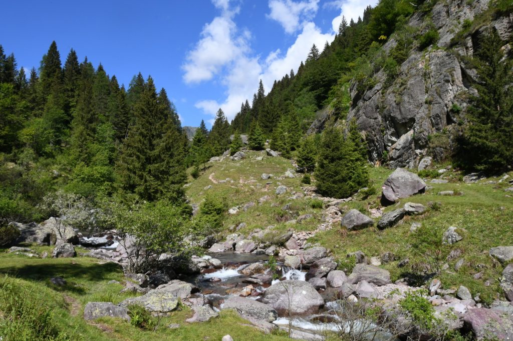
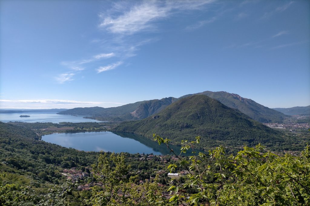
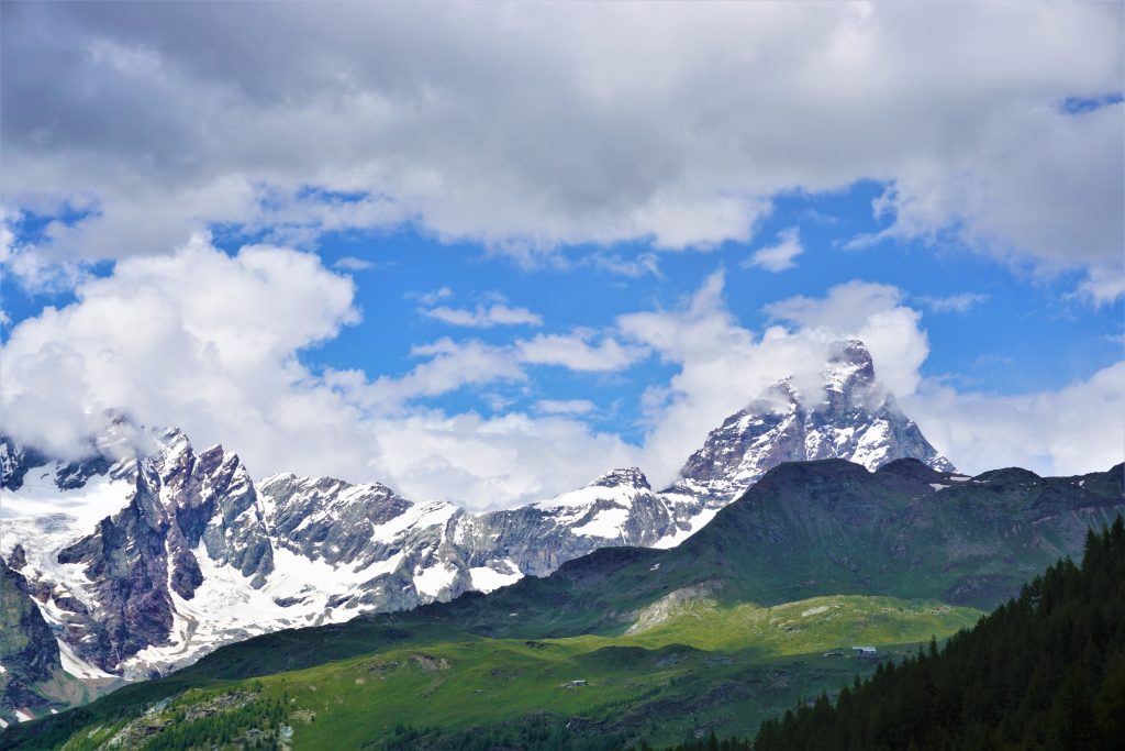
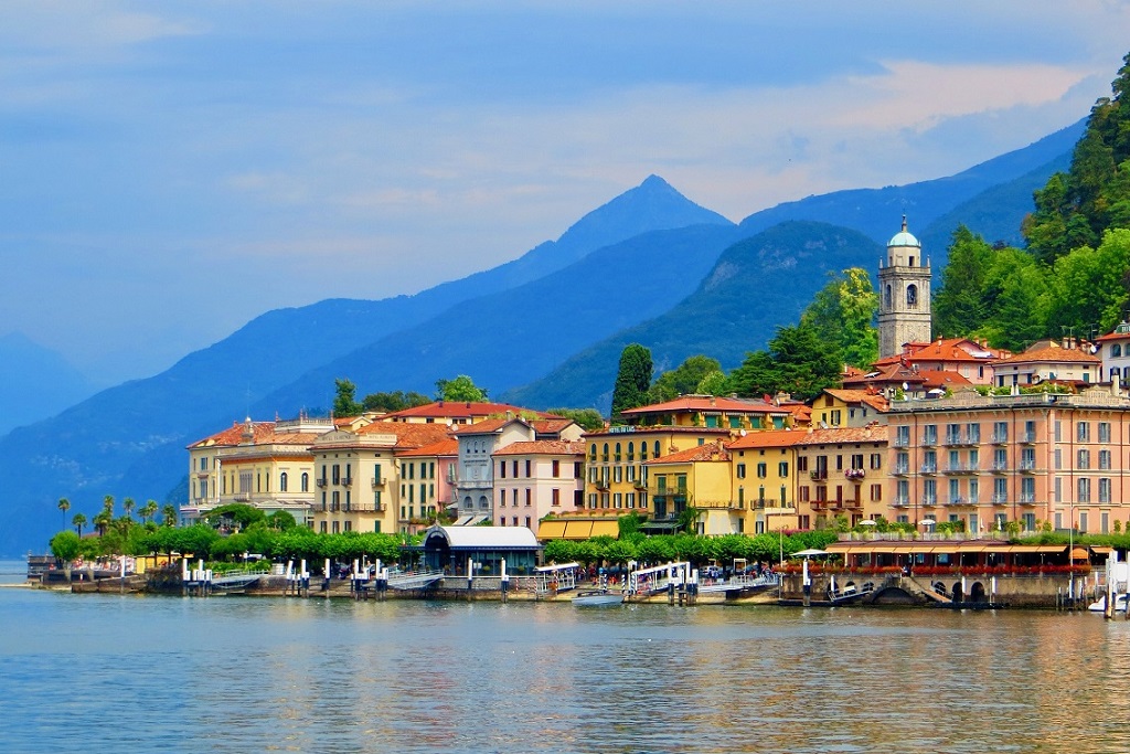
Half-way up the hills on the Eastern side of Lake Como, a series of ancient cobblestone paths and mule trails connect charming little shoreline villages to the higher altitude pristine meadows. Where they merge, a longer trail begins known today as the Wayfarer’s Path (“Sentiero del Viandante” in Italian). Over the centuries, this well traveled trail was used by wayfarers, pilgrims and traders heading to the planes and the higher alpine passes. This path overlooks spectacular views of Lake Como featuring olive tree plantations along the shore as well as chestnut, oak, and spruce forests higher up on the mountain sides. While immersing ourselves into this lush natural region we’ll explore the less-touristy side of this spectacular lake. The whole path is 45 kms long (28 miles) and it takes four days to cover it all. We are opting only for a one day hike, but it will be enough to experience the most beautiful and panoramic section of the trail. Keeping the little picture-perfect village of Varenna as our focal point, we can choose between three different levels of hiking difficulty:
- Easy: from Varenna to Bellano, including a visit to the gorge of Bellano (optional)
- Moderate: from Lierna to Varenna (lower route)
- Demanding: from Lierna to Varenna (higher route)
In all three cases the transportation from/to Milan will be organized by train.
BEST SEASON: Year round for Level EASY, march to november for Levels MEDIUM and DEMANDING
WHAT TO EXPECT
TRIP TYPE: Day Hike Tour
TRIP LENGHT: Full Day
TRAIN RIDE FROM MILAN: 1 hour – Let us know if you’re staying somewhere else and still want to organize the tour with us. We can meet you on the way!
– DIFFICULTY LEVEL: EASY – Click HERE to understand the Hiking Difficulty Levels
DISTANCE: 5 km/3 mi
ELEVATION GAIN: 200 m/650 ft
HIGHEST ALTITUDE: 350 m/1,150 ft
LUNCH: restaurant
– DIFFICULTY LEVEL: MODERATE – Click HERE to understand the Hiking Difficulty Levels
DISTANCE: 7 km/4.5 mi
ELEVATION GAIN: 580 m/1,900 ft
HIGHEST ALTITUDE: 800 m/2,65o ft
LUNCH: bring your own packed lunch
– DIFFICULTY LEVEL: DEMANDING – Click HERE to understand the Hiking Difficulty Levels
DISTANCE: 11 km/7 mi
ELEVATION GAIN: 880 m/2,900 ft
HIGHEST ALTITUDE: 992 m/3,250 ft
LUNCH: bring your own packed lunch
Private tours are only open to your party
20% discount on the total price for families with kids and parties of 3 and 4. For bigger groups please ask for quote.
GEAR NEEDED: A small day pack, water and comfortable running shoes for Level EASY. For Levels MEDIUM and DEMANDING please check the list of Things to Bring on a Day Hike
IMPORTANT: we run our tours in almost all weather conditions and very rarely cancel. See our Terms and Conditions for information on cancellations and refunds
YOU MIGHT ALSO LIKE…
