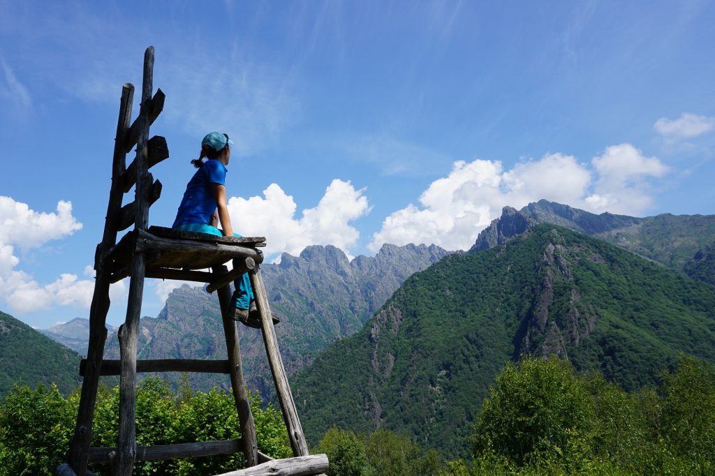
Val Maira is one of the most remote and peaceful of Italian valleys. So it is no surprise if most people have never heard of it. Yet Val Maira is absolutely stunning. A valley for connoisseurs who love dreamy landscapes, breathtaking views and authentic ancient traditions. A valley where not only sports enthusiasts, but also families with children can find plenty of options to enjoy. In short, there’s definitely more than one reason for you to visit!
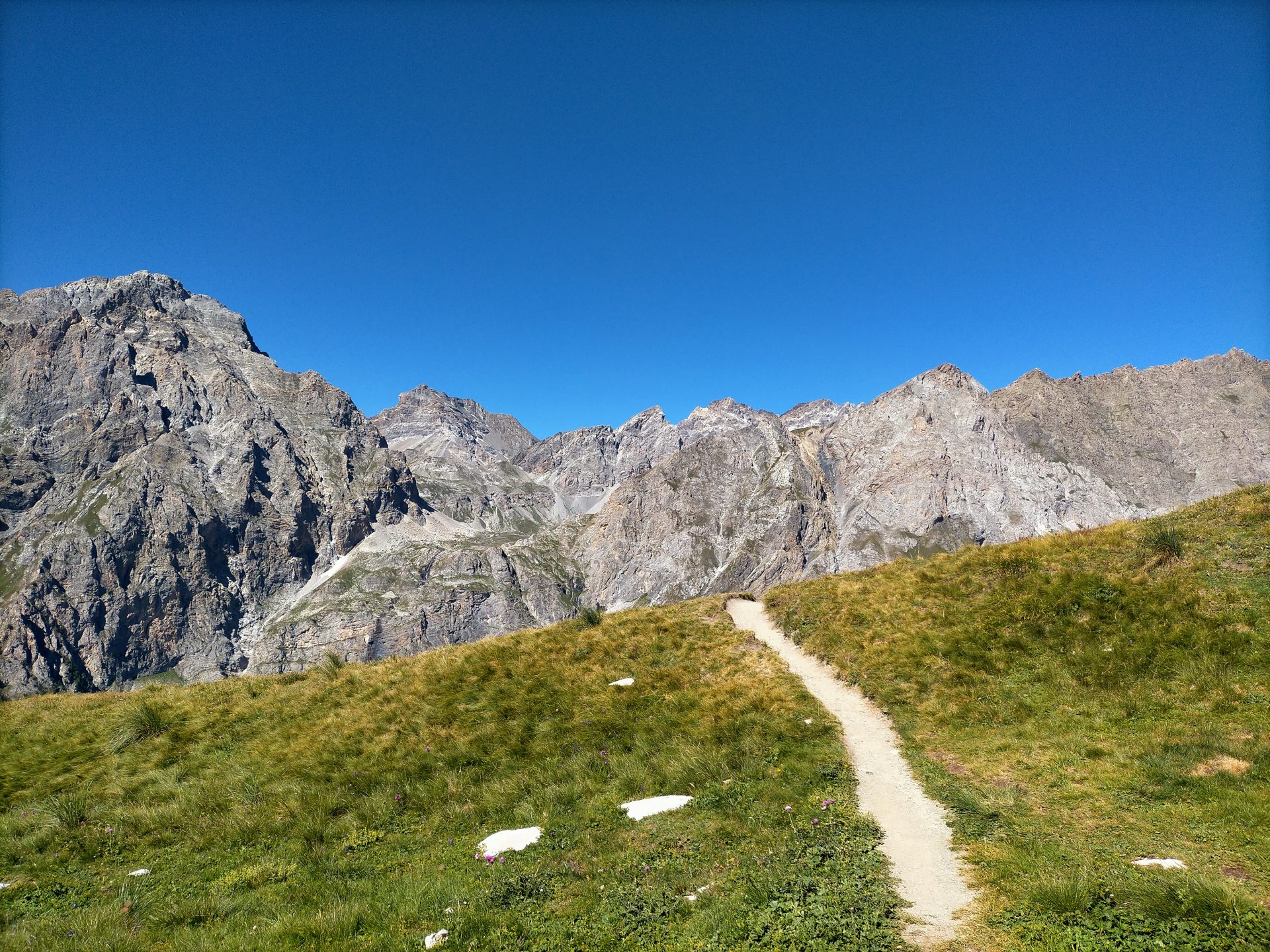
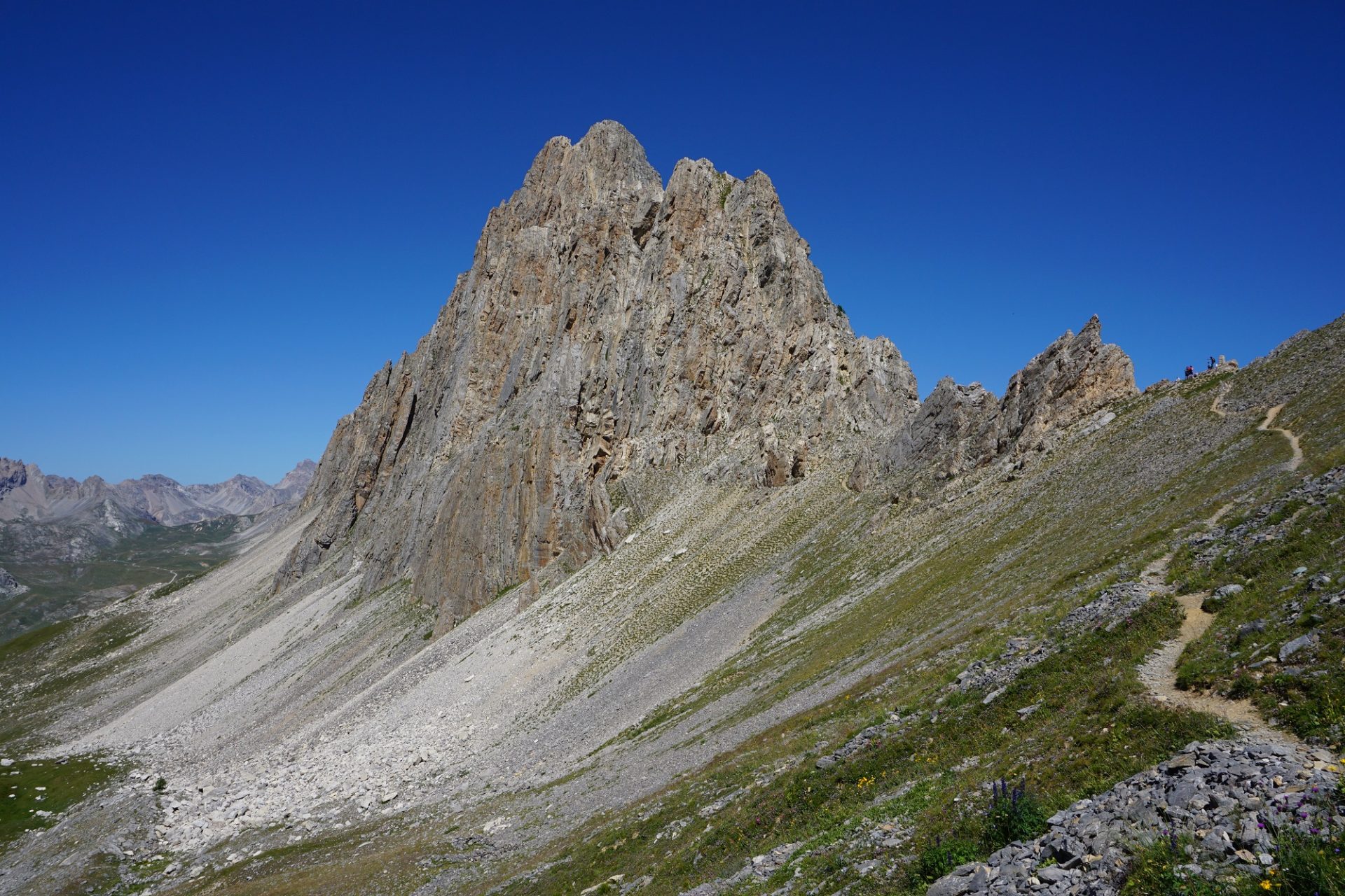
Located in the Piedmont region, in the province of Cuneo and stretching towards the border with France, Val Maira is an open book of history and geology. An amazing land where Dolomites-like rugged peaks emerge as islands from the grasslands, remnants of the fascinating past of completely different sceneries.
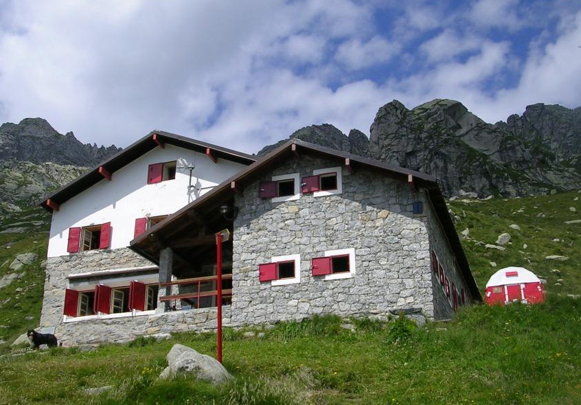
Val Maira also means Occitan culture. The language, the architecture and the cuisine here are very unique. The inhabitants of the valley are taking good care of their important heritage and are always ready to share it with their new guests. Staying overnight in one of the traditional lodges and tasting some great local food is a must for the ones reaching from Milan. Something that no doubt will make your experience unforgettable.
Day 1 – Black Lake
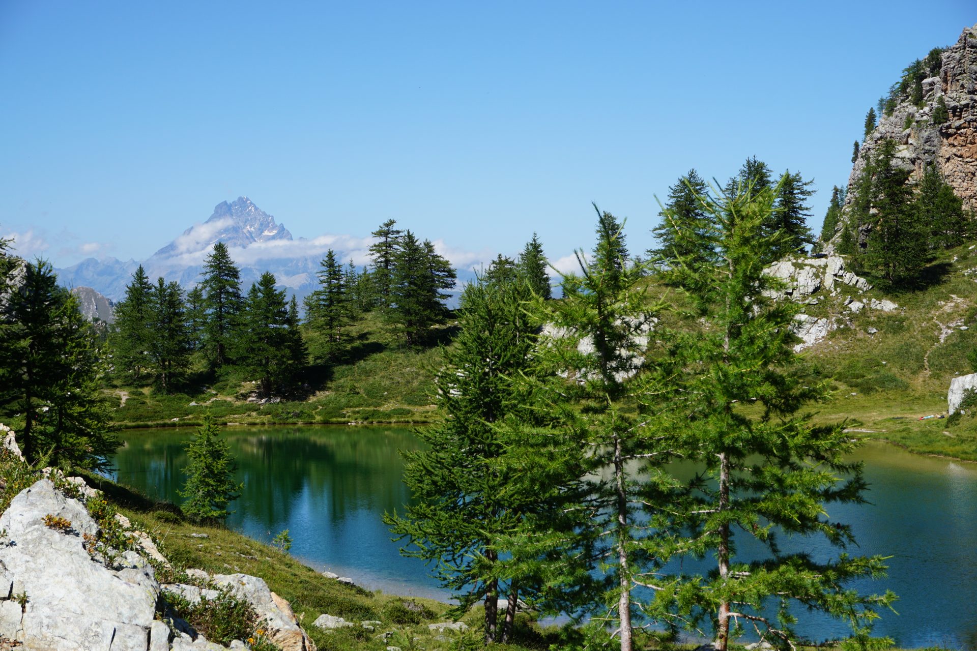
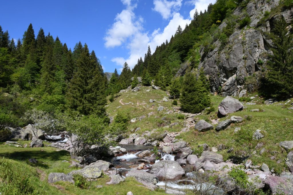
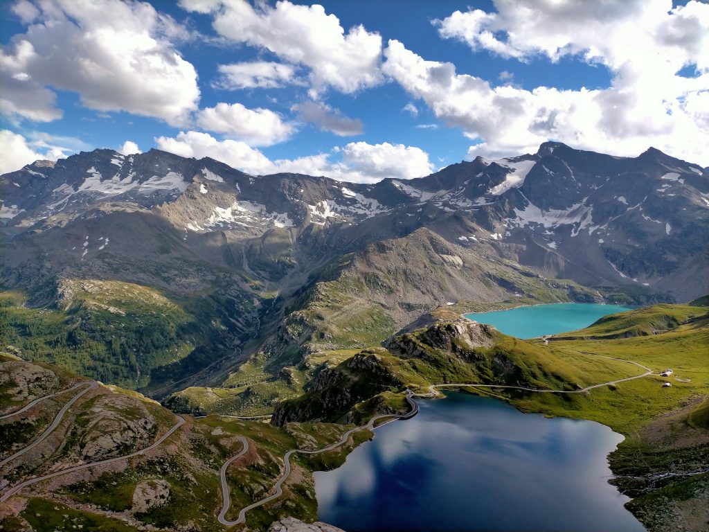
We leave early the city of Milan heading towards Val Maira (4h). The drive is long but scenic, taking us across the wine regions of Langhe-Roero and Monferrato. Our first call is the little village of Pian Preit where we’re planning to have lunch and getting familiar with the traditional local cusine. In the afternoon we set off for an uphill hike to the Black Lake, nestled amongt beautiful mountains and at the edge of the tree line. In a distance we can admire the pyramid-perfect shape of the Monviso Mountain, reffered to as the “stone king”, the highest one in the area (3.841m/12,600ft). Overnight stay in a traditional lodge down in the valley (depending on availability at the moment of reservation).
Day 2 – Rocca La Meja
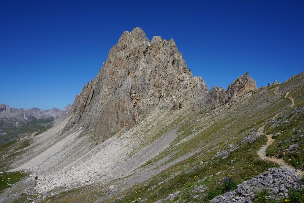
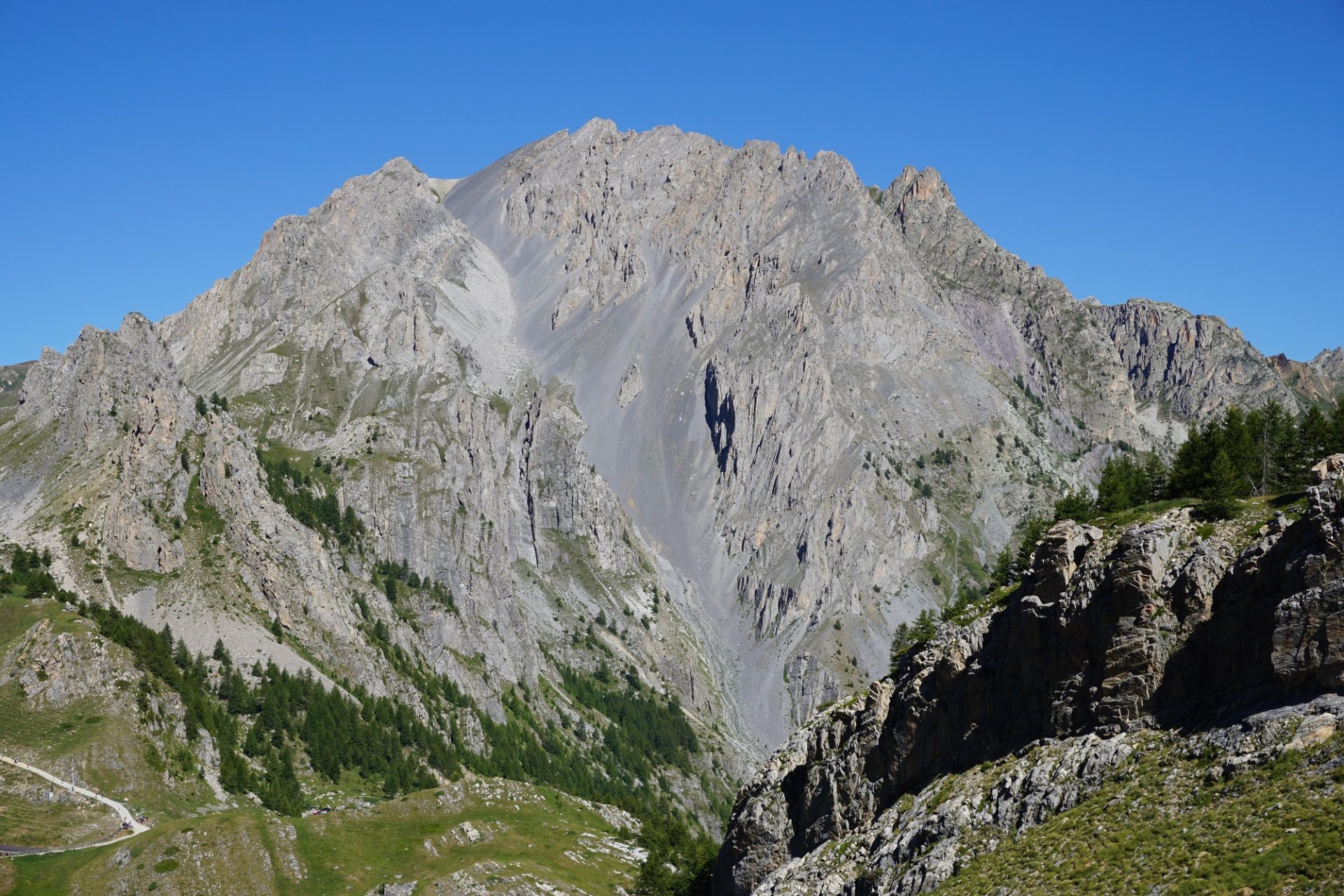
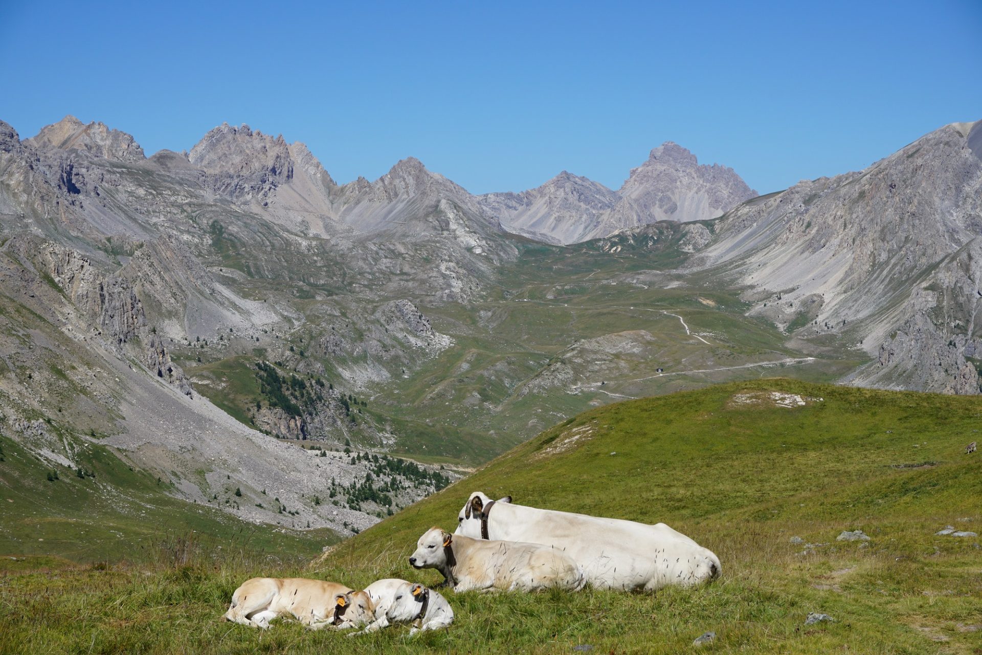
The mountain symbol of Val Maira is Rocca La Meja, a pyramidal shaped mountain mostly composed of dolostone, that stands out from the Meja-Gardetta green plateau. A vast land used as a high altitude pasture for the Piedmontese white cows, a breed of domestic cattle that originated in the region of Piedmont. Such an idyllic landscape! Our plan is to hike around the base of the mountain to the eastern face where a short trail takes us higher to its side, reaching a view point from where we can get get the best perspective of it. From here we can then retrace our steps back or extend the itinerary to complete the loop around the mountain. The second option is more demanding in terms of height difference and lenght. Overnight stay in a traditional lodge down in the valley (depending on availability at the moment of reservation).
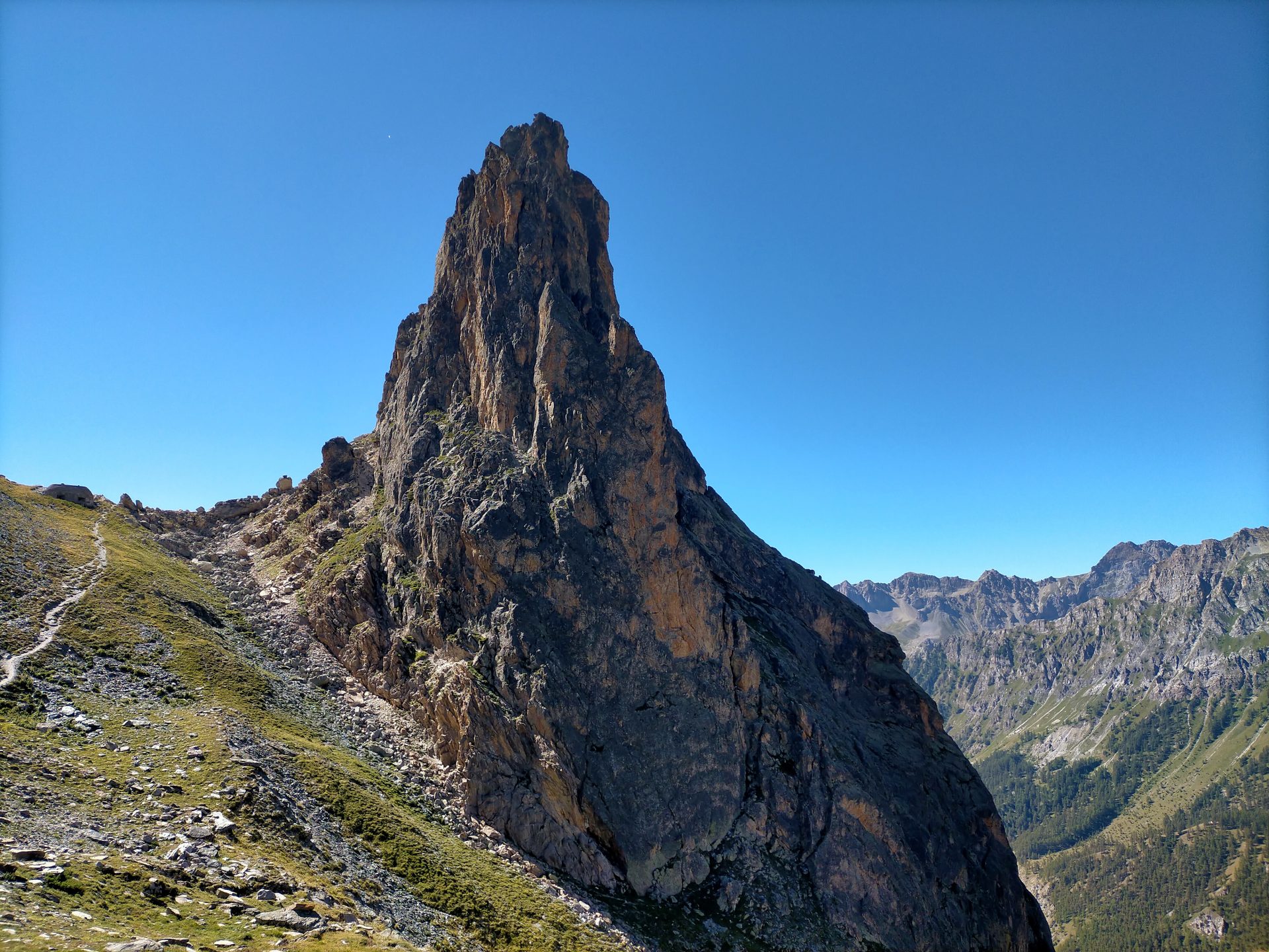
Day 3 – Rocca Provenzale
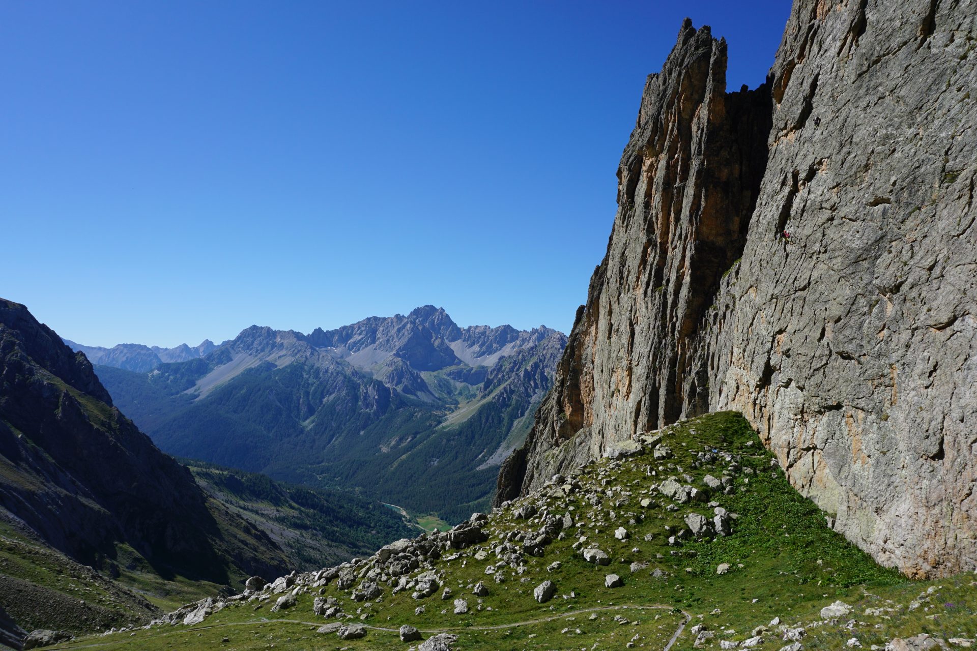
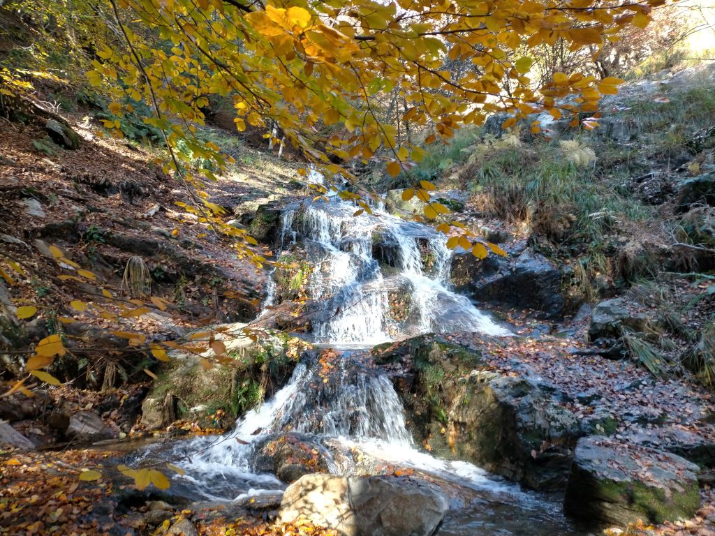
We start early and by car we reach the little village of Chiappera, located at the very end of Val Maira. The town is dominated by the incredible spur of the Castello-Provenzale group – a paradise for climbers – which in fact represents its symbol. We start our excursion by reaching its slopes and, after crossing the Greguri Pass (2.317 m/7,601 ft), we continue hiking all the way around it. The landscape is magnificent. On the way back the path crosses enchanting meadows and get closer to the Stroppia waterfalls, the highest in Italy. The best month to observe them is june, when the water is more abundant. In the afternoon we start our drive back to the city of Milan (4h).
BEST SEASON: end of june to october
WHAT TO EXPECT
TRIP TYPE: Multi-Day Hiking Tour
TRIP LENGTH: 3 Full Days
DRIVING TIME FROM MILAN: 3h45 – Let us know if you’re staying somewhere else and still want to organize the tour with us. We can meet you on the way!
DAY 1
DIFFICULTY LEVEL: MODERATE – Click HERE to understand the Hiking Difficulty Levels
DISTANCE: 8 kms/4.9 mi
ELEVATION GAIN: 600 m/1,968 ft
HIGHEST ALTITUDE: 2.245 m/7,365 ft
LUNCH: mountain hut
OVERNIGHT STAY: mountain hut
DAY 2
DIFFICULTY LEVEL: MODERATE – Click HERE to understand the Hiking Difficulty Levels
DISTANCE: 10 km/6.2 mi
ELEVATION GAIN: 570 m/1,870 ft
HIGHEST ALTITUDE: 2.551 m/8,369 ft
LUNCH: packed lunch
OVERNIGHT STAY: mountain hut
DAY 3
DIFFICULTY LEVEL: MODERATE – Click HERE to understand the Hiking Difficulty Levels
DISTANCE: 11 km/6.8 mi
ELEVATION GAIN: 660 m/2,165 ft
HIGHEST ALTITUDE: 2.310 m/7,580 ft
LUNCH: packed lunch
Private tours are only open to your party
20% discount on the total price for families with kids and parties of 3 and 4. For bigger groups please ask for quote.
GEAR NEEDED: check the list of Things to Bring on a Day Hike
IMPORTANT: we run our tours in almost all weather conditions and very rarely cancel. See our Terms and Conditions for information on cancellations and refunds
YOU MIGHT ALSO LIKE…
